Land Essentials
$199starting at
Aerial and ground coverage with lot lines drawn on the frames that sell dirt.
- Drone + ground photos
- Lot lines
- 360° panorama
- Marketing kit
Land Media
Drone media, lot lines, and aerial tours for land and acreage — from $199.
Real client aerial — a lakefront estate lot, Knoxville, TN market. Now based in Sarasota.
The deliverable
A parcel doesn't have a kitchen to photograph. Aerial land media answers the three questions every land buyer asks before they'll drive out.
Road frontage, easements, and the way in — shot along the approach so a buyer understands how they reach the parcel before they ask.
Lot lines drawn over the aerial from parcel data, so the listing shows where the property starts and stops instead of asking buyers to imagine it.
Altitude gives scale: the neighbors, the tree cover, the water, the grade. Context sells acreage the way a wide-angle sells a great room.
Every land package includes lot lines composited onto the aerial photos. Land Lux upgrades them to animated lot lines inside the land video — the boundary draws itself over the flyover.
Boundaries are prepared from county parcel data for marketing purposes — clear enough to sell the shape of the land, never a substitute for a survey.
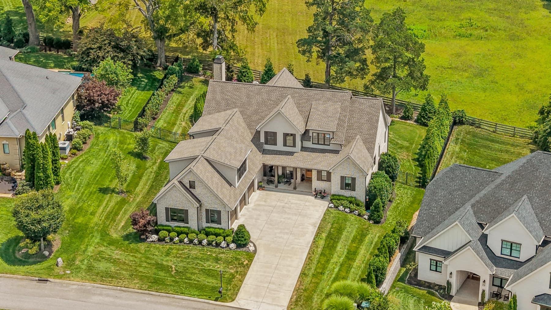
Illustration of the lot-line deliverable
Land packages
Starting prices — acreage and drive time set the final quote, and your exact number appears before you confirm a booking.
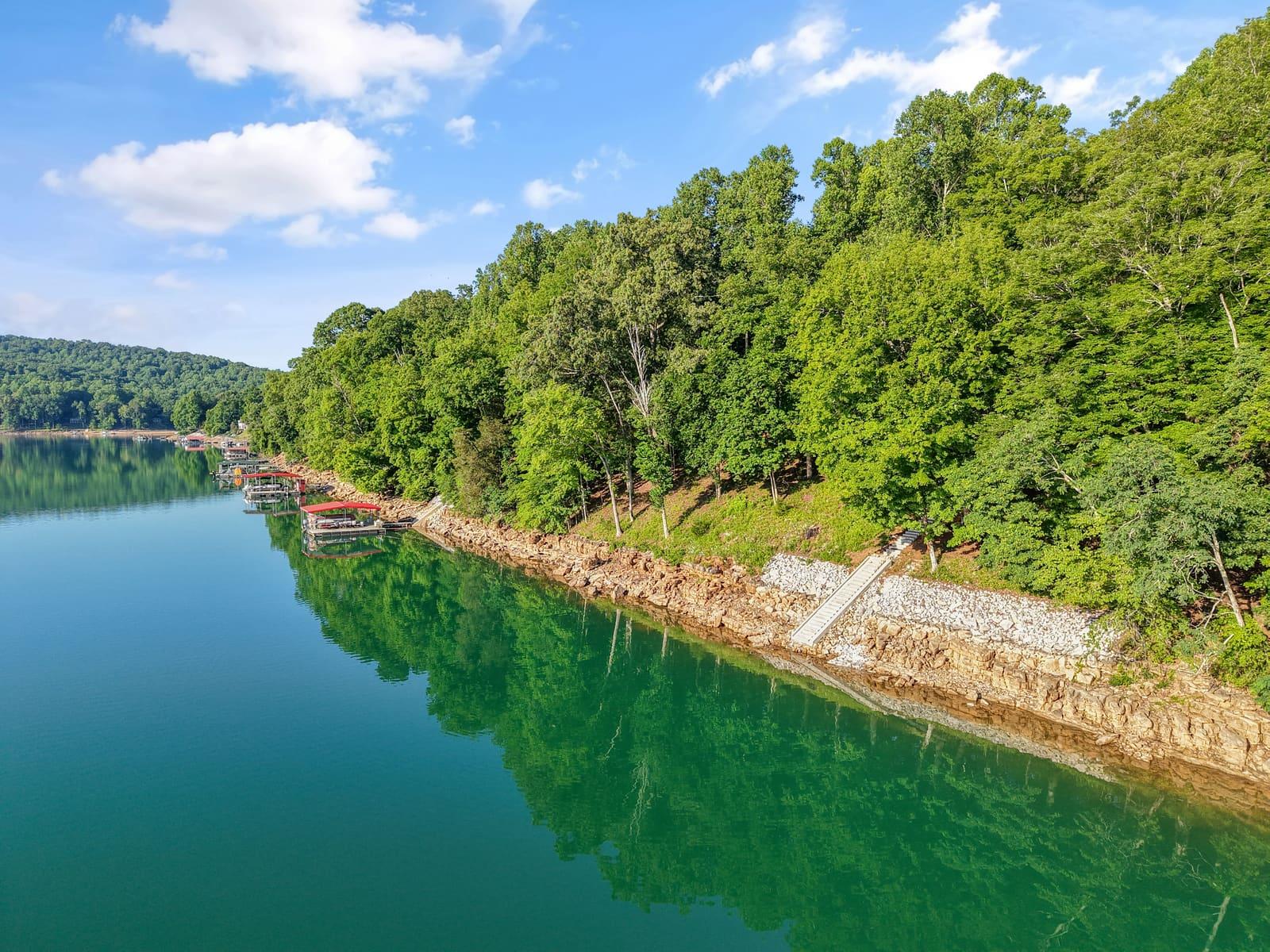
$199starting at
Aerial and ground coverage with lot lines drawn on the frames that sell dirt.
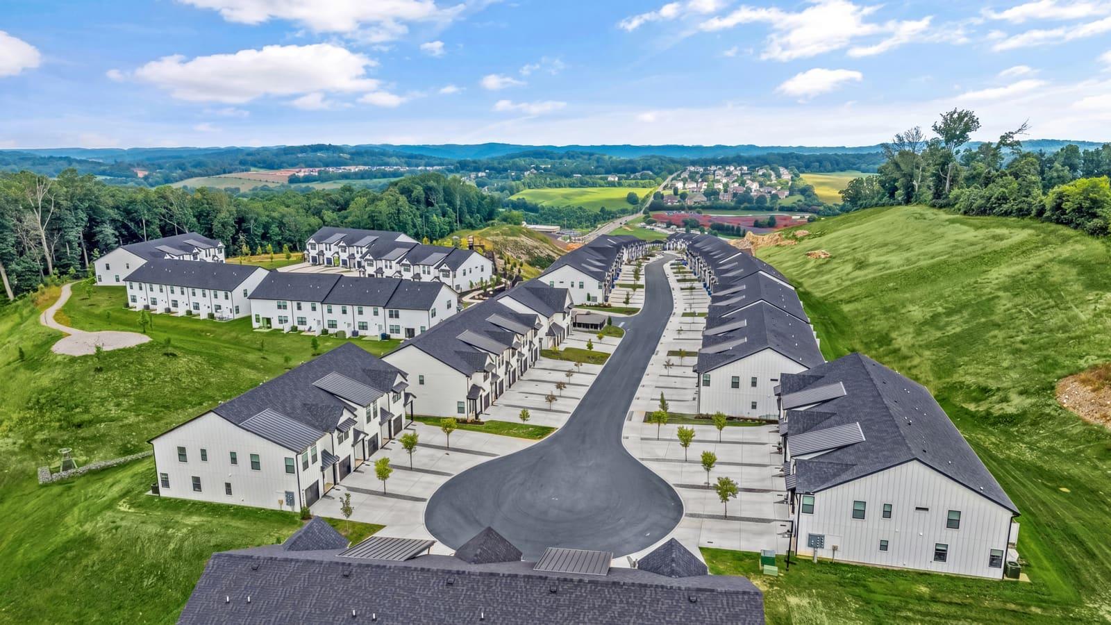
$340starting at
Essentials, plus a standard land video that shows the parcel in motion.
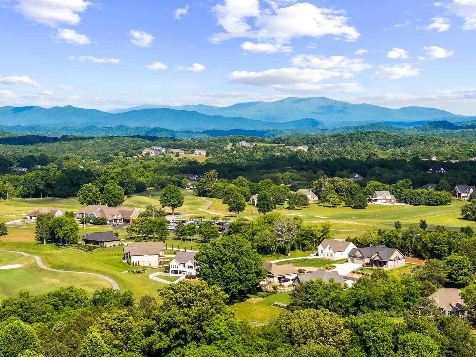
$650starting at
The full aerial production: premium video, animated lot lines, and a 3D tour from above.
Card aerials are client work from the Knoxville, TN market — captioned, never staged.
| What's included | Land Essentials | Land Pro | Land Lux |
|---|---|---|---|
| Starting price | $199 | $340 | $650 |
| Drone + ground photos | — | ||
| Lot lines | Animated | ||
| 360° panorama | 2 panoramas | ||
| Land video | — | Standard | Premium |
| Aerial 3D tour | — | — | |
| Marketing kit |
Starting prices. Final quotes vary by acreage and location — your exact number appears before you confirm a booking.
You are the drone
Three frames from the pilot’s line of travel: approach, boundary pass, context orbit. Every one is a delivered client frame.
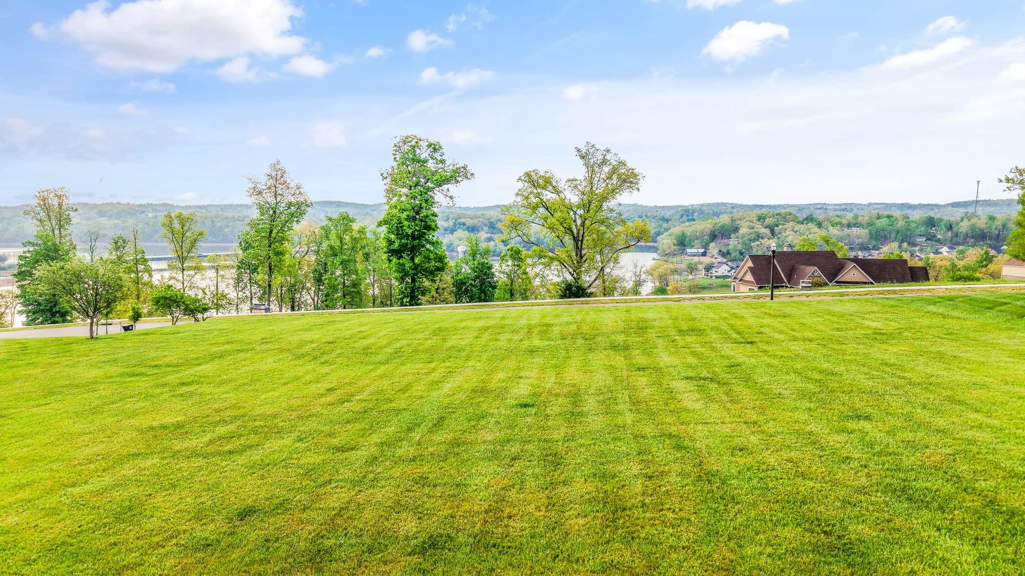
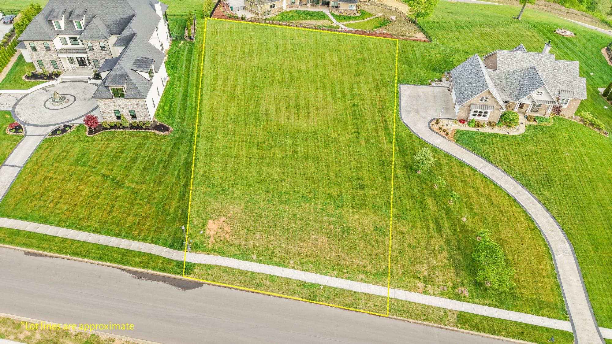
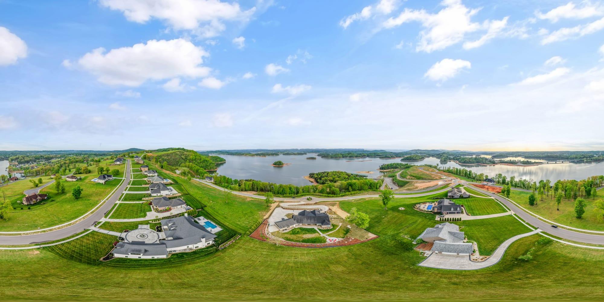
One real lot shoot, delivered frames — lakefront estate parcel, Knoxville, TN market. Lot lines are approximate, prepared for marketing. Now based in Sarasota.
Every flight is planned around FAA Part 107 rules, and airspace is checked before every flight — controlled airspace included. If a parcel sits in airspace where a flight isn't permitted, you'll know before the shoot is booked — not after. The rules themselves — who needs certification, altitude ceilings, and what to ask any drone photographer — are broken down in our guide to Florida's drone rules for real estate.
Ready when you are
Pick a package, check the address, hold a date — the exact quote shows before you confirm.